Clarence Town Flood Study
Dungog Shire Council is undertaking a Flood Study for Clarence Town and the surrounding areas to improve our understanding of flood behaviour and impacts, and to better inform the management of flood risks. This study will also support the concurrent development of the Clarence Town Structure Plan.
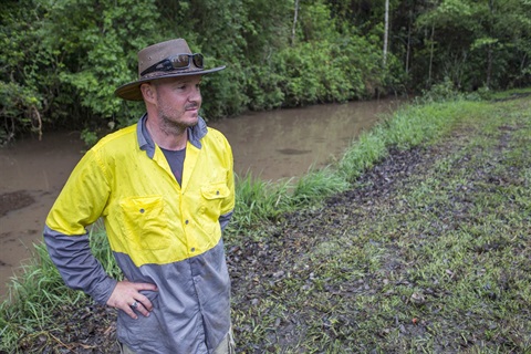
Whilst previous studies have been conducted, there is currently no comprehensive investigation covering all flood causes and processes in the area. Additionally, past studies are now outdated, and significant advancements have been made in floodplain risk management methodologies and policies.
We are seeking community input - your local knowledge and personal experiences with flooding are invaluable in helping us develop an accurate and effective study. We appreciate any time you can take to assist.
The objectives of the Flood Study are to:
- Define the nature of overland flooding using the latest technologies and data.
- Improve understanding of flood behaviour and associated risks in the study area.
- Build community resilience through better planning, emergency management, and awareness.
- Provide information to assist in future floodplain management activities to reduce flood impacts and risks to life.
Additionally, the study will include flood mapping to identify properties at risk, a process known as Flood Tagging. This helps ensure new developments meet appropriate flood-related controls, protecting both new and existing properties. Please note, these planning controls apply only to new developments or modifications to existing structures.
Your feedback is invaluable in shaping this study, to fill out the survey, visit: https://forms.office.com/r/ncVZVkEwH0
Copies of the survey can also be found at Dungog Shire Council Administration Building and the Clarence Town Post Office.
For further information, please contact Dungog Council’s Customer Service Centre via phone: (02) 4995 7777 or email: shirecouncil@dungog.nsw.gov.au.
Survey closes 31st March 2025.